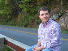
 As you can see I'm enjoying myself. I have a good time giving presentations when I can make the audience laugh a few times. I won't bore you with the technical details of the presentation, but it dealt with using moderate resolution satellite imagery, in addition to other geospatial data, to generate landcover data for a Streams Statistics model created by the United States Geologic Survey and NC Department of Transportation. You can learn more about the technology at my inactive geospatial imaging blog.
Right now at work I am working on another landcover project using Landsat imagery to generate landcover data for the High Rock Lake area in NC. This project is testing some new technologies to generate landcover data.


No comments:
Post a Comment